





There are some places in India where the scale of what you see in front of you is difficult to understand until you actually stand there.
Bhakra is one of them.
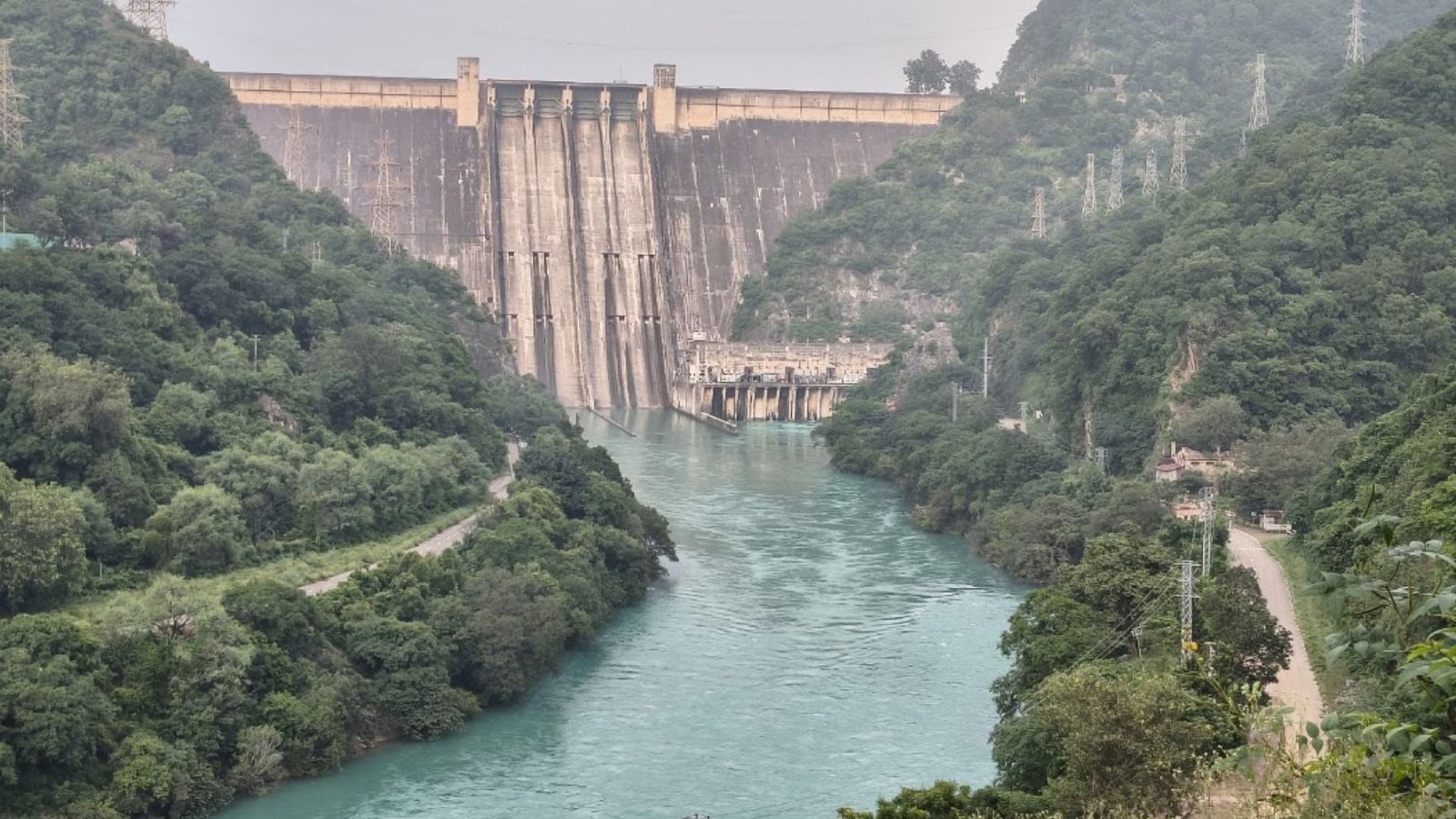
High in the Sutlej valley, the massive concrete wall of Bhakra Dam rises more than 225 metres above its deepest foundation, holding back the waters of Gobind Sagar. The project was imagined long before independent India, developed through decades of planning and engineering, and finally dedicated to the nation in 1963.
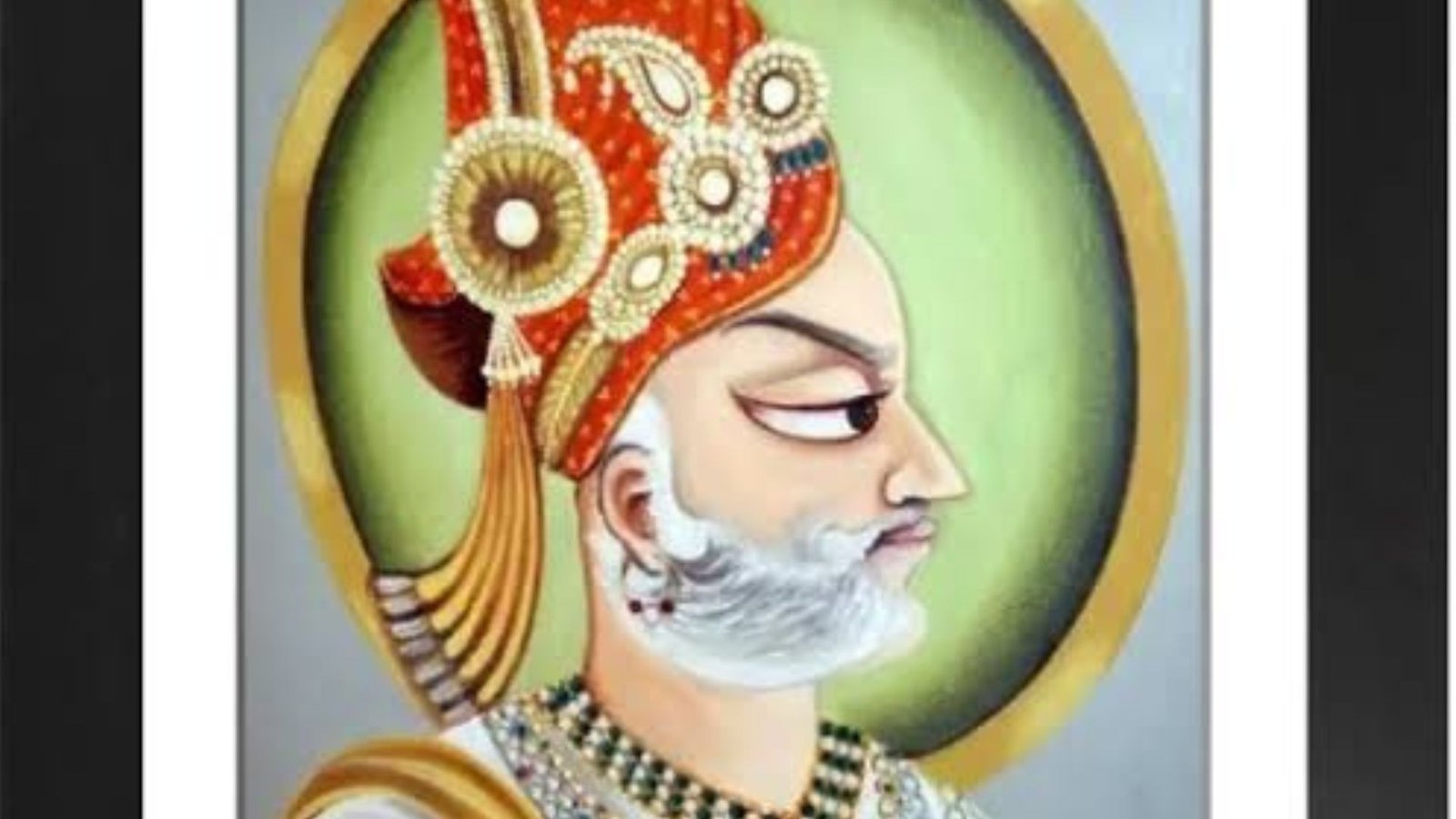
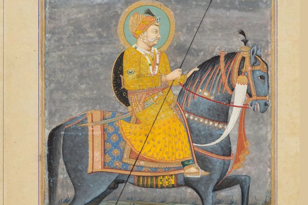
The story begins in 1908, when Sir Louis Dane, then Lieutenant Governor of Punjab, proposed a reservoir on the Sutlej. According to the official history maintained by the Bhakra Beas Management Board (BBMB), his note of 8 November 1908 identified the Suni and Badu gorges as favourable locations for storage and power development. The idea was considered too expensive at the time and was shelved.
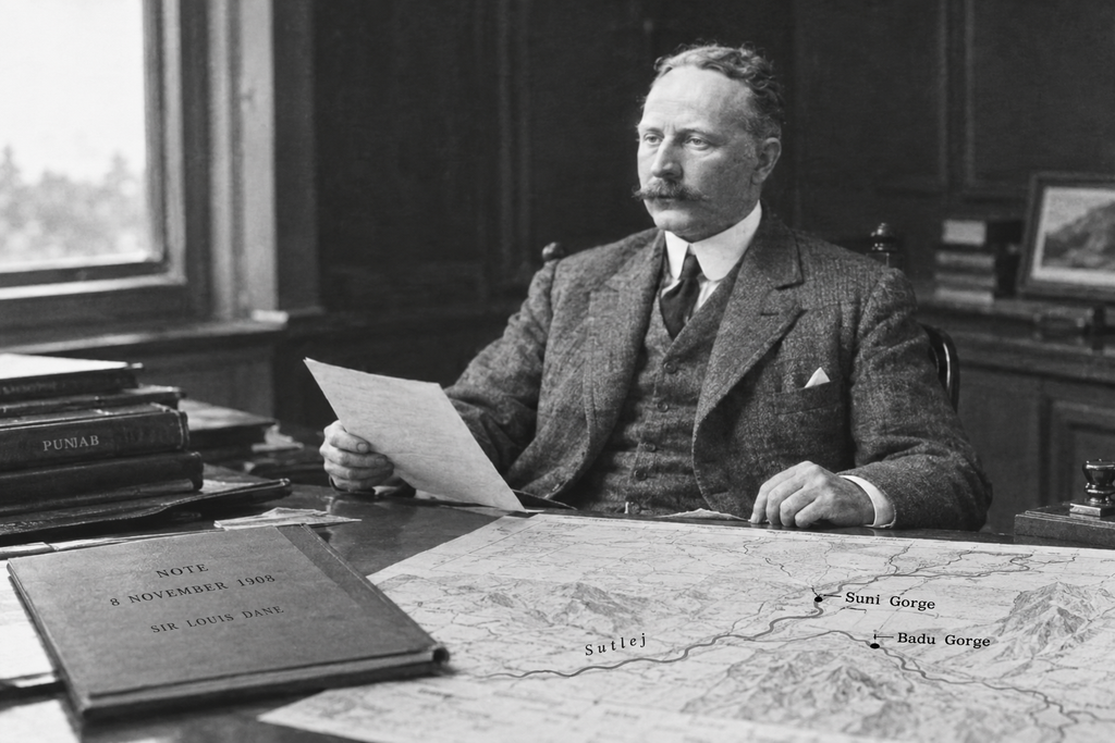
There is also a popular version of the story that says Dane was inspired by seeing a leopard leap across a gorge. It makes for a memorable opening, but the official historical record confirms the 1908 proposal rather than the leopard anecdote, so it is best treated as a reported story rather than established fact.
More than five decades later, the idea had become one of independent India’s most ambitious river-valley projects.
We recently made our own journey to Bhakra Nangal – starting from Chandigarh on an Avenger, stopping at a friend’s home in Nangal, and later driving towards Raipur to a temple viewpoint overlooking the dam and valley.
And honestly, photographs don’t quite prepare you for the scale of the landscape.
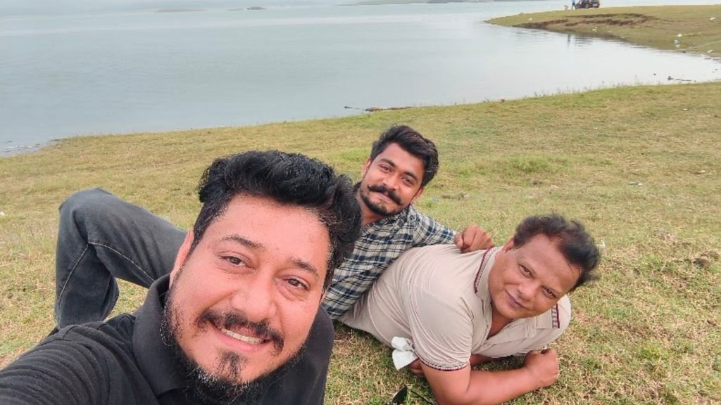
This is our guide to Bhakra Nangal Dam – its history, engineering, current safety concerns, nearby places to visit, and what our own journey was like.
Quick Facts About Bhakra Nangal Dam
| Detail | Information |
| River | Sutlej (Satluj) |
| Main Dam | Bhakra Dam |
| Location | Near Bhakra village, Bilaspur district, Himachal Pradesh |
| Downstream Project | Nangal Dam, near Nangal, Punjab |
| Dam Type | Concrete straight gravity dam |
| Height | 225.55 metres (740 ft) above deepest foundation |
| Reservoir | Gobind Sagar |
| Gross Storage Capacity | About 9,621 million cubic metres |
| Bhakra Power Houses | 1,415 MW combined installed capacity |
| Main Project Period | 1948–1963, with major construction activity from 1952 |
| Dedicated to Nation | 22 October 1963 |
| Managing Organisation | Bhakra Beas Management Board (BBMB) |
Note: Bhakra Dam and Nangal Dam are technically separate structures. They are commonly referred to together as the Bhakra-Nangal Project.
Where Is Bhakra Nangal Dam Located?
The Bhakra-Nangal Project is built around the Sutlej River, but Bhakra and Nangal are not the same dam.
The main Bhakra Dam is near Bhakra village in Bilaspur district, Himachal Pradesh. Downstream, the Nangal Dam and associated works are located around Nangal in Punjab.
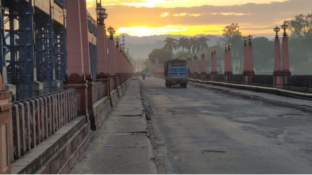
The two form part of the larger Bhakra-Nangal multipurpose project.
If you’re travelling from Chandigarh, Nangal is a convenient stop before continuing towards the Bhakra area. The landscape gradually changes from the plains into the hills, and the journey itself becomes part of the experience.
For navigation, searching for “Bhakra Dam” or “Bhakra Dam View Point” on your preferred map application is generally the easiest way to plan the route.
The Story of Bhakra Dam Begins in 1908
The history of Bhakra is much older than the dam itself.
On 8 November 1908, Sir Louis Dane proposed the construction of a storage reservoir on the Sutlej. His note identified the Suni and Badu gorges as possible locations for dams capable of supporting water storage and power development.
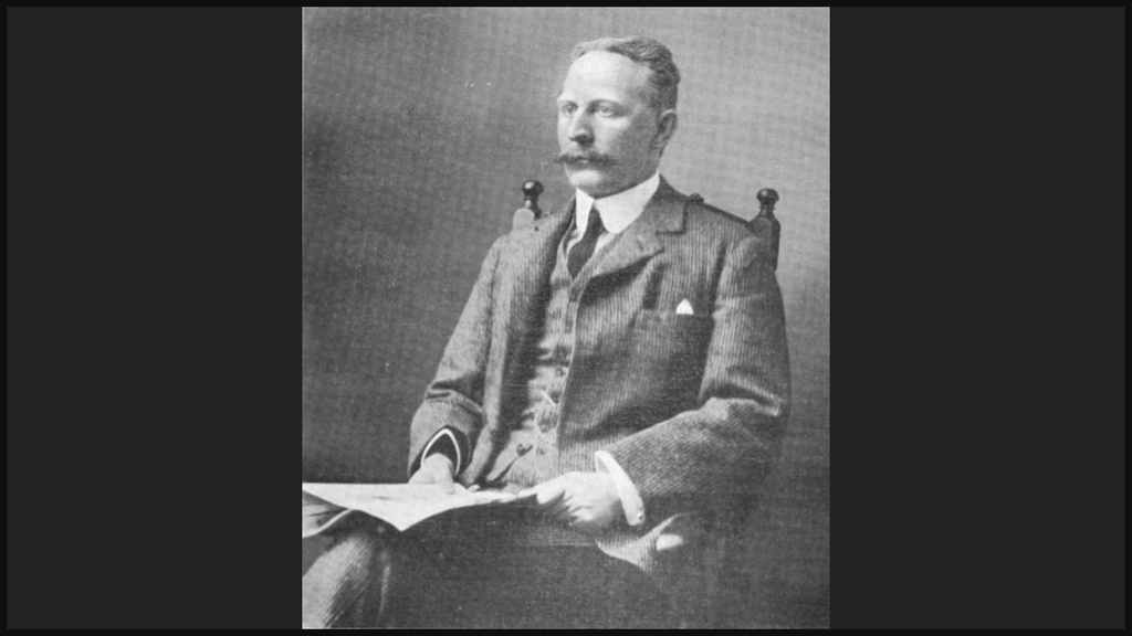
The proposal was studied further, and a detailed report followed in 1910.
But there was a problem that would repeatedly affect the project in its early years:
Cost.
The project was considered too expensive and was shelved.
The idea did not disappear completely, however.
In 1915, the proposal was revived by F.E. Gwyther, and a comprehensive project report for a high dam at Bhakra was prepared in 1919.
That report helped turn the idea from an ambitious proposal into something that could eventually become a real engineering project.
From an Old Proposal to an Independent India’s Mega Project

The Bhakra story developed gradually over several decades.
Indian engineers including Dr A.N. Khosla and Er. Kanwar Sain played important roles in developing and promoting the project.
After India became independent in 1947, the need for large irrigation and power projects became even more important.
The Bhakra-Nangal Project was taken up in 1948, with the larger plan designed to provide irrigation and electricity while also supporting flood management and other regional benefits.
One of the most important decisions was to develop parts of the canal system before the main dam was finished.
That meant the project could begin delivering benefits before the enormous concrete structure at Bhakra was completely finished.
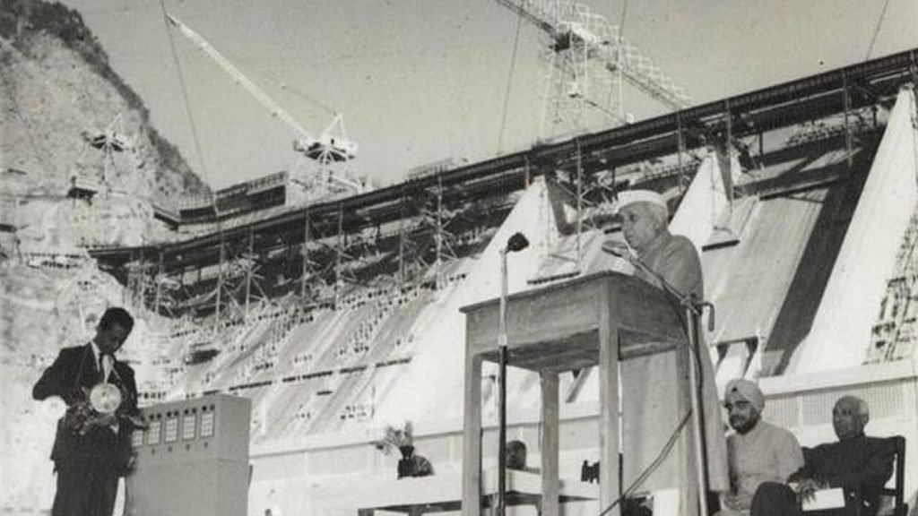
The Bhakra canal system was inaugurated by Prime Minister Jawaharlal Nehru on 7 July 1954.
The Engineers Who Made Bhakra Possible
Building Bhakra was an enormous engineering challenge.
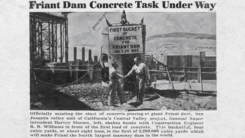
The project used Indian engineering expertise together with assistance from foreign experts. The United States Bureau of Reclamation acted as a design consultant, while the actual execution was handled by Indian engineers and the project organisation.
Full-scale construction activity accelerated after April 1952, when American engineer M. Harvey Slocum arrived with a team of construction technicians and engineers.
The working conditions were extremely difficult.
The area was remote, infrastructure was limited, and enormous quantities of material had to be transported and handled in a difficult mountainous environment.
Thousands of workers, engineers and technicians were involved in the project.
It was not simply a matter of pouring concrete into a gorge. Roads, rail connections, housing, hospitals, power infrastructure, canals and an entire supporting system had to be developed around the project.
Nehru and the “Temple of Resurgent India”
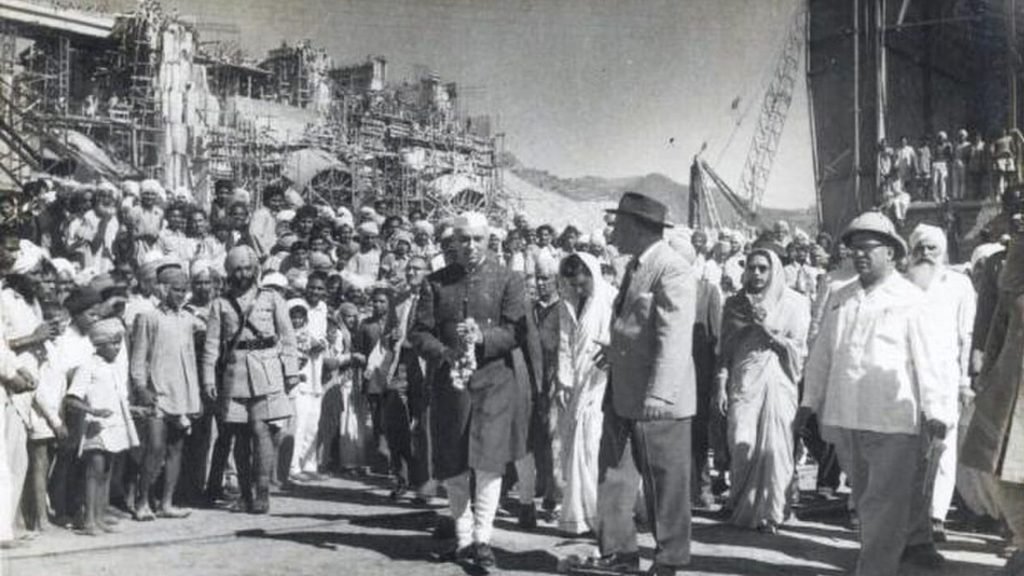
Jawaharlal Nehru had a particularly strong connection with Bhakra.
According to BBMB’s historical account, Nehru visited the project 10 times during its construction.
He saw projects such as Bhakra not merely as dams, but as symbols of India’s ability to build a modern industrial and agricultural economy after independence.
The phrase most closely associated with Bhakra is:
“The new temple of resurgent India.”
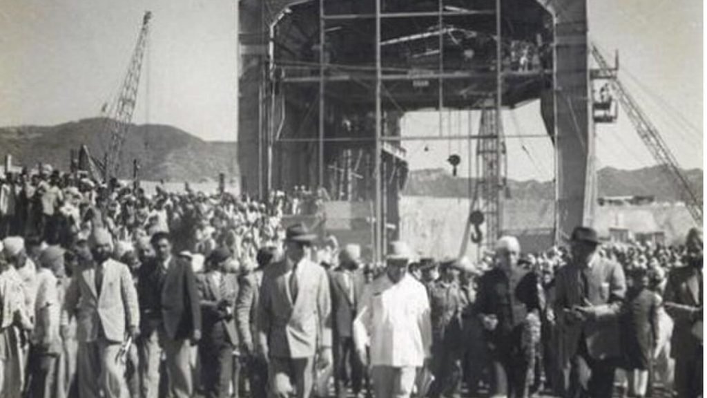
Nehru eventually dedicated the completed dam to the nation on 22 October 1963.
By then, the journey from the original 1908 proposal had lasted roughly 55 years.
So the famous “55-year story” is best understood as the journey from the first proposal to the completed project — not 55 years of continuous construction.
The Engineering Behind Bhakra Dam
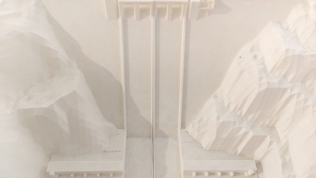
Standing beside Bhakra Dam, the first thing you notice is its sheer size.
The main dam is a concrete straight gravity dam.
That means the structure relies primarily on its enormous mass and geometry to resist the pressure of the water behind it.
According to BBMB, the dam is:
- 225.55 metres (740 ft) high above its deepest foundation
- About 167.64 metres (550 ft) above the river bed
- Built across the Sutlej
- Designed with a central overflow spillway
- Associated with the huge Gobind Sagar reservoir
The reservoir has a gross storage capacity of approximately 9,621 million cubic metres.
The scale becomes much easier to appreciate when you realise that this is not simply a dam wall. It is part of an enormous network of reservoirs, canals, power stations and transmission infrastructure.
How Much Electricity Does Bhakra Generate?
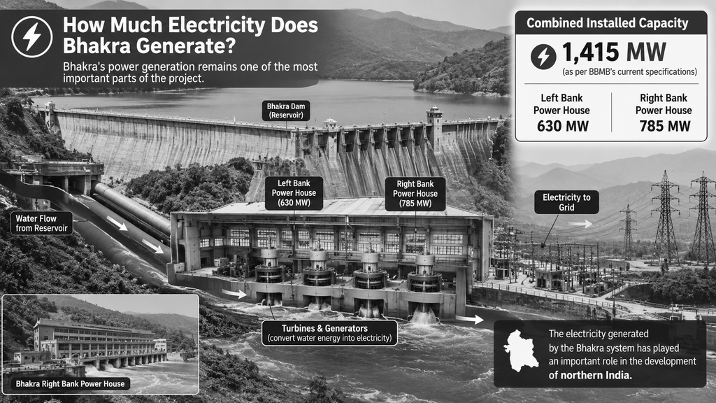
Bhakra’s power generation remains one of the most important parts of the project.
The two main Bhakra power houses have a combined installed capacity of approximately 1,415 MW according to BBMB’s current specifications:
- Left Bank Power House: 630 MW
- Right Bank Power House: 785 MW
The electricity generated by the Bhakra system has played an important role in the development of northern India.
Gobind Sagar: The Reservoir Behind the Dam
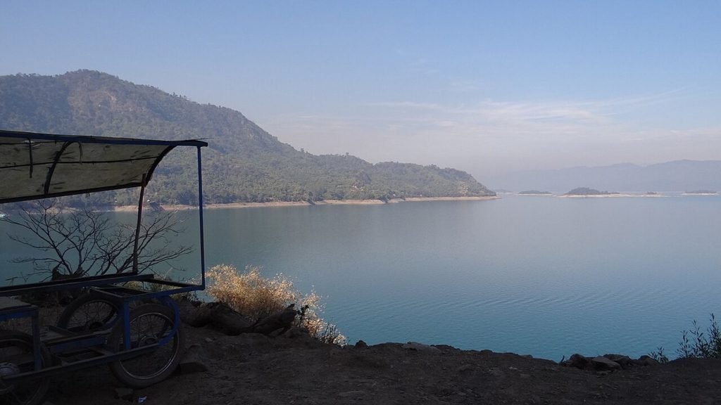
The huge body of water behind Bhakra Dam is Gobind Sagar.
It is not just a scenic lake. It is an important part of the entire irrigation and power system.
Water stored here supports the wider Bhakra system, helping provide irrigation and electricity to large parts of northern India.
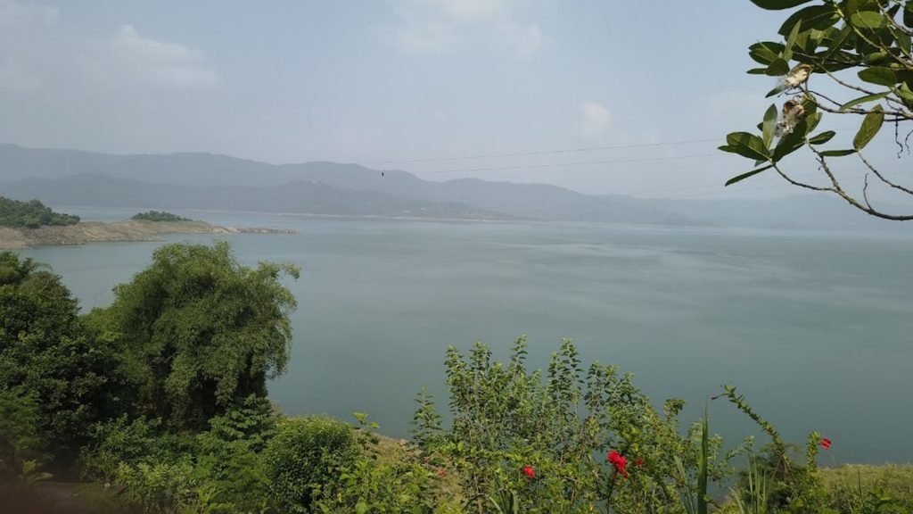
When you look down from the surrounding hills, the reservoir can feel more like a natural lake than something created by an enormous engineering project.
That contrast is one of the most impressive parts of visiting Bhakra.
Is Bhakra Dam Really Tilting?
This is one of the biggest questions surrounding Bhakra Dam today.
The short answer is:
There has been a measurable structural deflection, and it is being investigated and monitored. But that does not mean the dam is about to collapse.
This distinction is important because several social-media posts and videos have presented the issue in a much more dramatic way.
According to a 19 March 2026 Lok Sabha reply from the Ministry of Power, Bhakra Dam recorded a maximum deflection of 1.1770 inches on 19 November 2025.
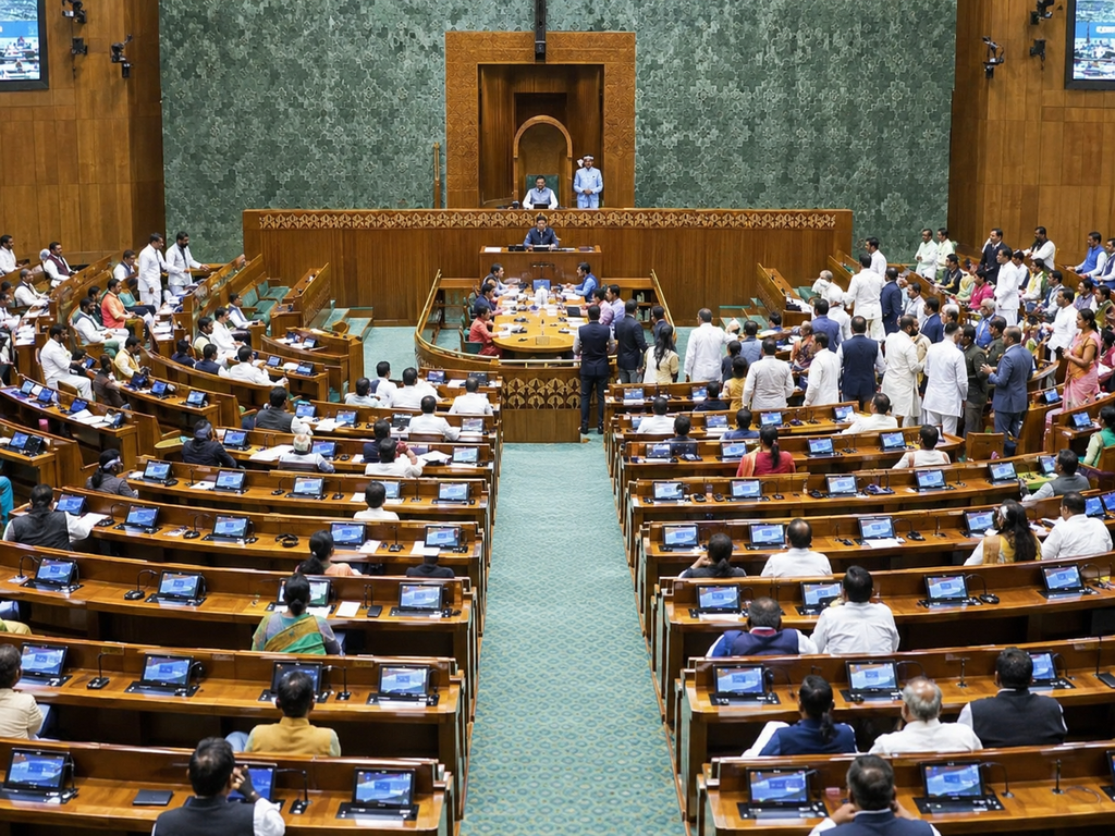
The non-seismic design limiting value referenced in the government’s answer is 1.03 inches.
However, the reading later reduced.
As of 10 March 2026, the recorded deflection was approximately 0.9623 inches.
So the situation is not accurately described simply as “Bhakra Dam is collapsing.”
The more accurate description is that the dam has experienced a level of measured deflection that exceeded the referenced non-seismic design limit at one point, and authorities are investigating why this happened.
What Is BBMB Doing About the Deflection?
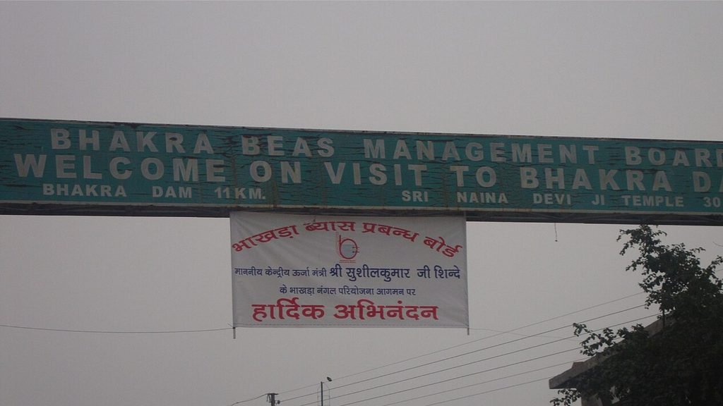
BBMB has not ignored the issue.
The board entered into an agreement with the International Centre for Excellence in Dams (ICED), IIT Roorkee for technical assistance relating to dam safety and other issues, including Bhakra’s deflection.
BBMB also reported in March 2026 that a joint meeting involving experts from IIT Roorkee, the National Dam Safety Authority and BBMB officials was held to discuss the increasing trend of deflection and determine the need for a detailed study.
The purpose is to identify the underlying cause and recommend a long-term solution.
This is important because a dam of Bhakra’s scale is a critical national asset. Monitoring movement, seepage, stresses and other structural indicators is part of responsible dam management.
For visitors, the key takeaway is simple:
The deflection issue is real and deserves serious engineering attention, but viral claims suggesting an imminent collapse should not be treated as established fact.
Bhakra Dam vs Tehri Dam
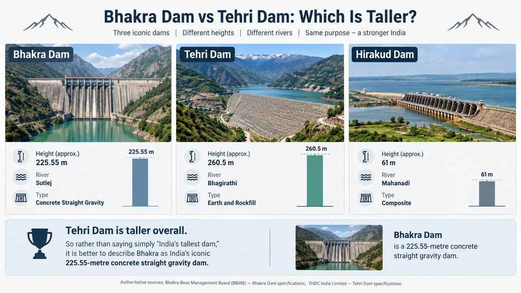
There is often confusion online about which is India’s tallest dam.
The answer depends on what exactly you’re measuring.
| Dam | Approx. Height | River | Type |
| Bhakra Dam | 225.55 m | Sutlej | Concrete gravity |
| Tehri Dam | ~260 m | Bhagirathi | Earth and rockfill |
| Hirakud Dam | ~61 m | Mahanadi | Composite |
Tehri Dam is taller overall.
Bhakra’s distinction is that it is one of India’s great concrete gravity dams, and its 225.55-metre height makes it one of the country’s most iconic large dams.
So rather than saying simply “India’s tallest dam,” it is better to describe Bhakra as India’s iconic 225.55-metre concrete gravity dam or, where appropriate, India’s tallest concrete gravity dam.
Our Journey from Chandigarh to Bhakra
Our Bhakra trip was not a rushed sightseeing trip.
We started from Chandigarh at around 10 AM on an Avenger.
The plan was to travel towards Nangal, where we had arranged to stay at a friend’s home.
After a few breaks along the way, we reached Nangal at around 1:30 PM.
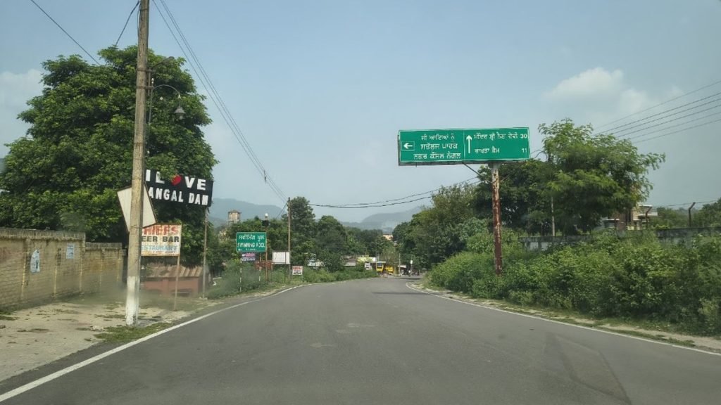
There was tea, some biscuits and a little rest before we headed out again.
At around 4:30 PM, we continued towards Raipur — this time by car.
The weather had turned cloudy, which actually made the journey more atmospheric.
The road towards the viewpoint gradually took us away from the busy town and deeper into the surrounding landscape.
Have a travel story to tell? Visit our Write for Us page and share your experience with fellow travelers. Your journey could inspire someone’s next adventure!
The Raipur Viewpoint
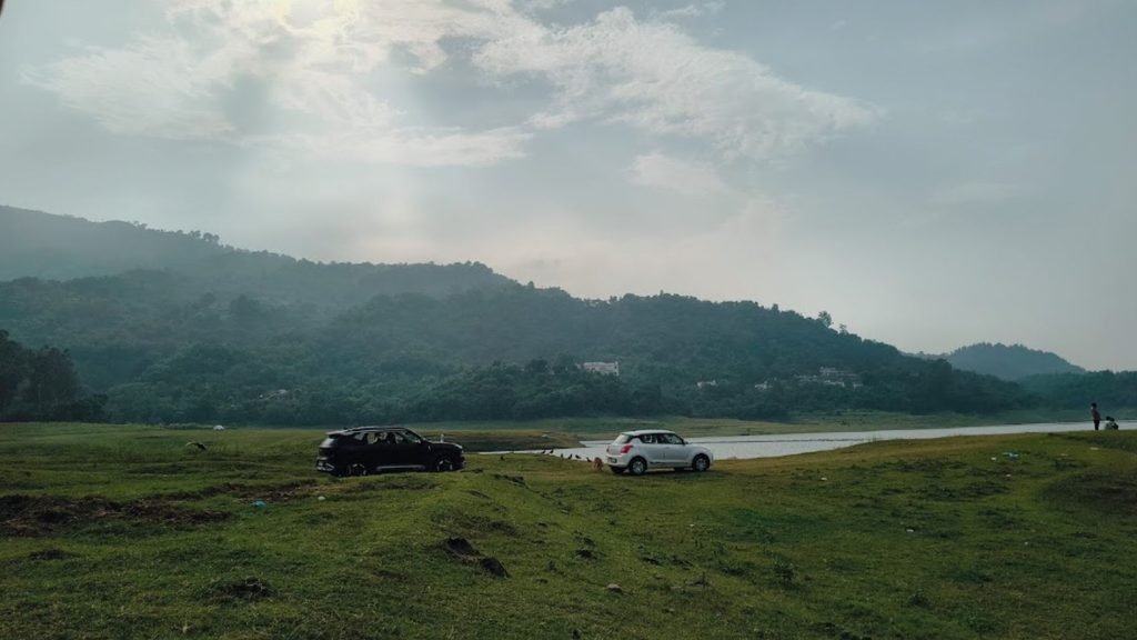
One of the highlights of our trip was reaching a small temple viewpoint in Raipur.
From there, you get a completely different perspective of the Bhakra landscape.
Instead of standing beside the dam and looking at the concrete structure from close range, you can look down across the valley and reservoir.
And this is where the scale really hits you.
Photos can show the dam.
They can’t quite show the depth of the gorge, the surrounding hills and the enormous spread of the reservoir at the same time.
We spent a good amount of time there taking photographs and simply looking at the landscape.
If you’re visiting the area, this was one of the stops we personally enjoyed most.
Getting an Entry Pass for Bhakra
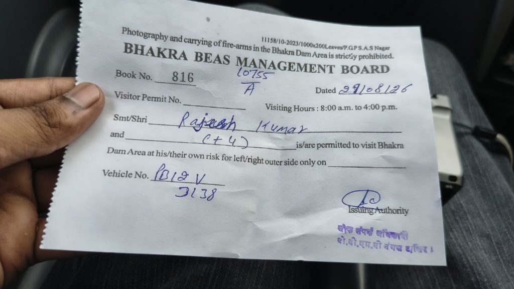
One thing we learned during our visit is that you cannot assume you can simply arrive at the dam and walk straight in.
Access to the main project area can be controlled, and visitors may need permission or an entry pass.
During our visit, we went to a BBMB office nearby to arrange the pass.
It involved several rounds of checking and waiting before we were cleared.
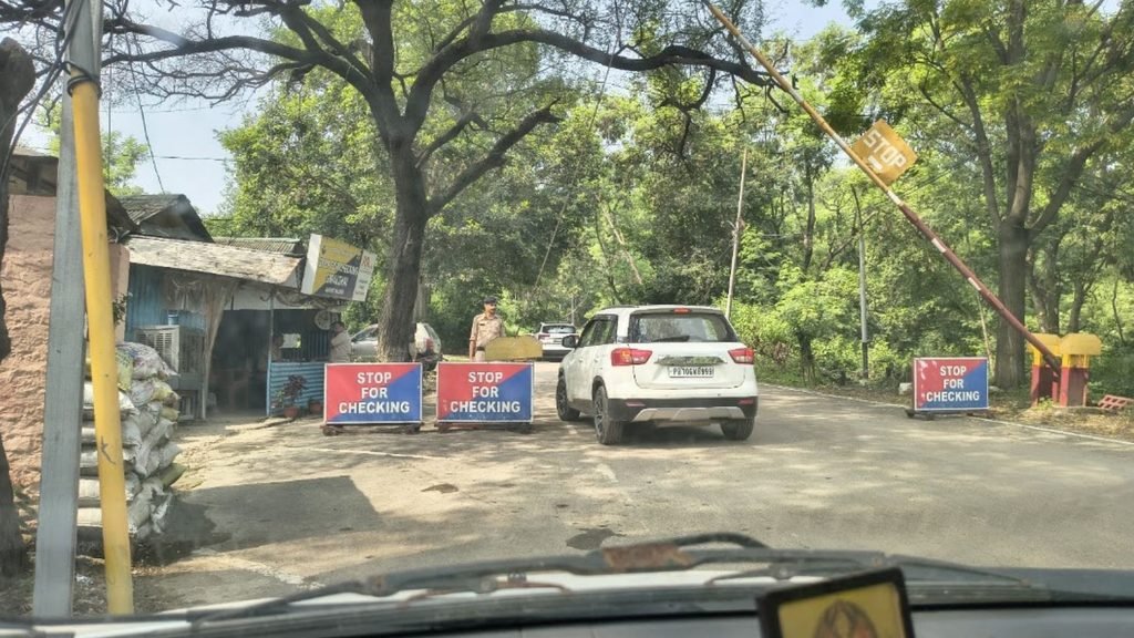
So if you’re planning your own trip, don’t build your entire itinerary around the assumption that dam access will be immediate.
Rules and access arrangements can change depending on security conditions and official instructions.
It’s worth checking with BBMB or local authorities before travelling specifically to enter the main dam area.
Nangal After the Dam

After spending time around the viewpoint, we headed towards the Nangal side.
This wasn’t a carefully planned food stop.
We came across a stretch known locally for fried fish, stopped there and ended up having a surprisingly good meal.
Sometimes these unplanned stops become the most memorable parts of a road trip.
After that, we returned to our friend’s place in Nangal for the night.
Things to Do Around Bhakra and Nangal
1. Raipur Viewpoint
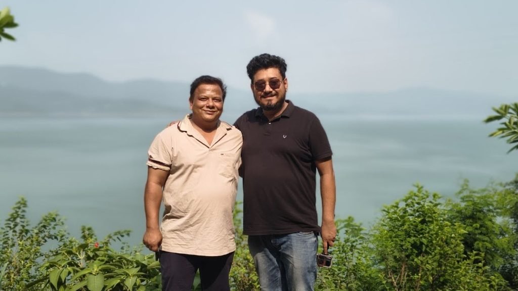
If you want a wider landscape view rather than just seeing the dam up close, the Raipur side is worth exploring.
The combination of the valley, hills and Gobind Sagar makes it particularly good for photography.
Access to individual viewpoints can vary, so check locally.
2. Nangal
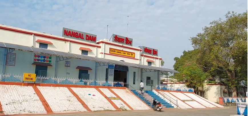
Nangal is closely associated with the downstream part of the Bhakra-Nangal Project.
It is also a useful base if you’re exploring the surrounding area.
You can find local food stops and enjoy views around the river and project area.
3. Anandpur Sahib
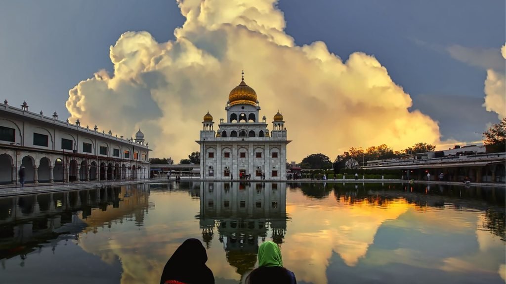
If you’re making a road trip from Chandigarh or Punjab, Anandpur Sahib can easily be combined with a Bhakra-Nangal visit.
It is one of the most important Sikh pilgrimage towns in the region and makes the trip more than just a dam visit.
4. Gobind Sagar
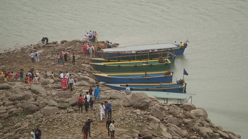
Gobind Sagar offers opportunities for scenic stops and, at certain locations and times, boating and other recreational activities.
Availability can vary seasonally and locally, so check current conditions rather than assuming every activity is available throughout the year.
Is Bhakra Nangal Dam Worth Visiting?
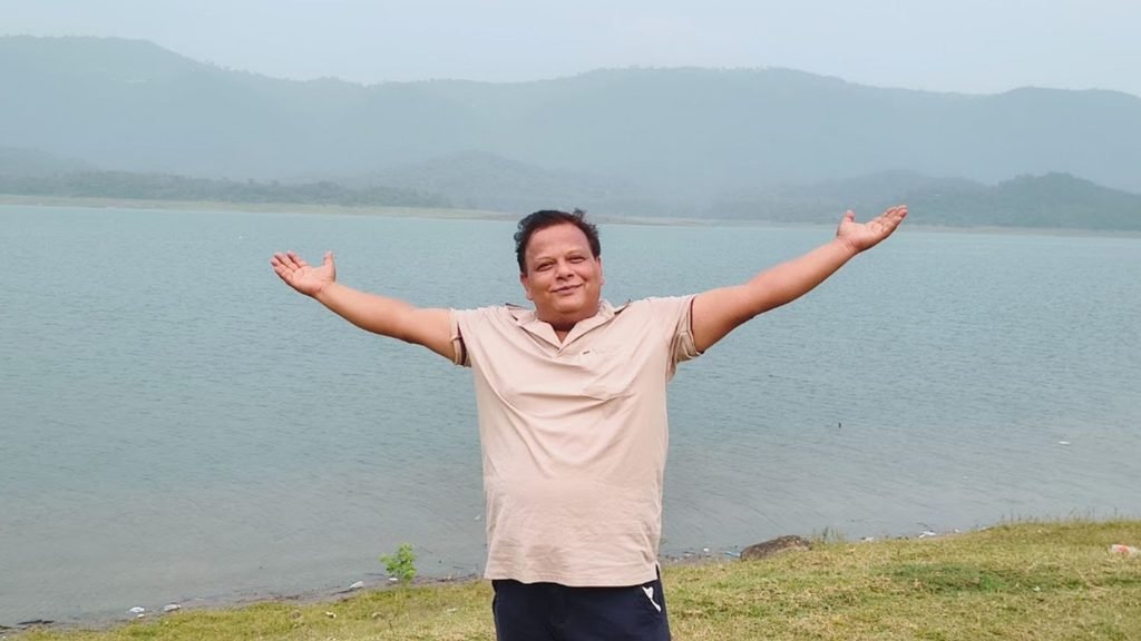
For us, yes.
But the biggest reason isn’t simply the dam itself.
It’s the combination of:
- The history behind the project
- The enormous scale of the concrete structure
- The Sutlej valley
- Gobind Sagar
- Mountain roads
- Nangal
- Nearby Anandpur Sahib
- And viewpoints such as the one we visited at Raipur
If you enjoy road trips, history, engineering or photography, Bhakra is a particularly interesting destination.
And if you’re travelling from Chandigarh, the journey itself makes the experience even better.
Frequently Asked Questions
Where is Bhakra-Nangal Dam situated?
The main Bhakra Dam is located near Bhakra village in Bilaspur district, Himachal Pradesh, on the Sutlej River. Nangal Dam and associated project works are located downstream near Nangal in Punjab.
Which river is Bhakra Dam built on?
Bhakra Dam is built across the Sutlej (Satluj) River.
When was Bhakra Dam built?
The Bhakra-Nangal Project was taken up after independence, with the project beginning in 1948. Full-fledged construction activity at Bhakra accelerated after 1952, and the main dam was completed and dedicated to the nation in 1963.
Why does the Bhakra Dam have a 55-year story?
The first documented proposal dates to 1908, while the completed dam was dedicated in 1963. Therefore, roughly 55 years passed between the original proposal and completion.
It does not mean the dam was continuously under construction for 55 years.
Who built Bhakra Dam?
The project was developed by the government and Indian engineering organisations after independence, with assistance from foreign experts. The United States Bureau of Reclamation was involved as a design consultant, while Indian engineers and project teams carried out the execution. M. Harvey Slocum and his American team became involved in full-scale construction activity from 1952.
Did Nehru build Bhakra Dam?
No. The dam was built by a large team of Indian engineers, technicians and workers, supported by foreign technical expertise. Nehru was a major political supporter of the project and visited it 10 times during construction.
Is Bhakra Dam the tallest dam in India?
Not overall. Tehri Dam is taller. Bhakra is a 225.55-metre concrete straight gravity dam and remains one of India’s most important and iconic large dams.
Is Bhakra Dam tilting?
Bhakra has recorded measurable structural deflection. The maximum recorded figure in November 2025 was 1.1770 inches, compared with a 1.03-inch non-seismic design limiting value. By 10 March 2026, the recorded deflection had reduced to approximately 0.9623 inches. BBMB and technical experts are investigating the issue.
Is Bhakra Dam about to collapse?
There is no official evidence in the sources cited here that the dam is about to collapse. However, the deflection issue is being taken seriously and is the subject of detailed technical investigation.
Can tourists enter Bhakra Dam?
Access to the main dam/project area may require permission or an entry pass and can be affected by security restrictions. Check with BBMB or local authorities before your visit.
Is Bhakra Nangal Dam worth visiting?
Yes, particularly if you enjoy road trips, engineering, history, photography and mountain landscapes. The Raipur viewpoint, Nangal and nearby Anandpur Sahib can make the trip even more worthwhile.
Final Thoughts
The story of Bhakra is much bigger than a concrete wall across the Sutlej.
It began with a proposal in 1908, survived decades of planning and political change, and eventually became one of independent India’s defining engineering projects.
From the early vision of storing Sutlej water to the enormous structure that stands today, the project represents a period when dams, canals and power stations were seen as symbols of a new India’s development.
For us, however, the most memorable part was much simpler.
It was the ride from Chandigarh, the stop in Nangal, the cloudy drive towards Raipur, the wait for the entry pass, and finally standing at the viewpoint and looking down at the dam and valley.
You can read the measurements.
You can study the engineering.
You can look at hundreds of photographs online.
But standing there gives you something the numbers cannot.
Scale.
And that is probably the best reason to visit Bhakra.
Sources & Further Reading
- Bhakra Beas Management Board (BBMB) — Bhakra Project history and specifications
- Ministry of Power, Government of India — Lok Sabha answer on Bhakra Dam structural deflection, March 2026
- BBMB — Current information on Bhakra Dam safety and project operations
- Yojana, Government of India — Historical account of the Bhakra project, 1963
- Most of the facts and images taken from wikipedia and some of images created from chatgpt with relible sources.
Travel note: Dam access, security rules, viewpoints and recreational activities can change. Check current local/BBMB instructions before travelling.